The History of Celestial Navigation by Unknown
Author:Unknown
Language: eng
Format: epub
ISBN: 9783030436315
Publisher: Springer International Publishing
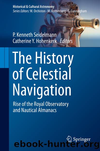
Figure 4.3A typical page of lunar distances, as presented in early editions of the Nautical Almanac (Copyright: UK Hydrographic Office)
These four pages, repeated for each month, are the crux of the Almanac. All the work of calculating the lunar positions for the estimated time at the standard meridian had been removed from shipboard and farmed out to Maskelyne’s cottage industry of computers. These pages, as Maskelyne put it rather nicely, “are designed to relieve the Mariner from the Necessity of a Calculation, which he might think prolix and troublesome” (Nautical Almanac 1766: 164). The navigator now had to measure the distance, as well as the altitudes, and then ‘clear the distance’, i.e. make various instrumental corrections and compensate for refraction and parallax. He then found Greenwich Time by interpolating for this cleared distance in the row of data for his chosen star or the Sun and the date, and compared this with local time to find his longitude. He could do that in about half an hour.
The sequence of twelve pages was repeated for each month and (apart from one immediate change) was maintained, presumably for the sake of familiarity for the users, even if this meant having a page with no information, such as when Jupiter was too close to the Sun for the satellites to be seen. Finally there were twenty-three pages of instructions by Maskelyne, the ‘Explanation and Use’. The Board recognised that merely producing the Almanac was not enough to bring it into use. They did what they could to make it available internationally, while the Admiralty arranged for instruction in London and in Portsmouth (Croarken 2002: 114). The appearance of pro-forma sheets to guide the calculations, as a commercial initiative, was also helpful (Howse 1989: 93).
The significance of the full title, The Nautical Almanac and Astronomical Ephemeris , was not trivial: the content was not all about navigation. For example, the two pages for the planets and for Jupiter’s satellites had no navigational application: the satellites could be used only for finding longitude on land and Maskelyne said that the planetary positions “are particularly useful to Astronomers who are furnished with Quadrants and Transit Instruments well fixed in the Meridian, in setting their Instruments for observing their right Ascensions and Declinations” (Nautical Almanac 1766: 158). Maskelyne used the Nautical Almanac to publish a number of astronomical tracts as appendices: a tract of instructions for observing the transit of Venus in 1769, one on the use of Bird’s (1709–1776) astronomical quadrant for taking altitudes, publication of Greenwich observations from Bradley’s time , and so on. Perhaps the most blatant instance was a 60-page treatise by Rev. John Edwards (c.1747–1784) on the manufacture of mirrors for reflecting telescopes appended to the volume for 1787. We have already encountered Edwards as one of Maskelyne’s computers. Since the Almanac was by then being prepared some years before its year of use, so that it could be taken on very long voyages, Herschel’s (1738–1822) discovery of Uranus in 1781 with such a telescope is not irrelevant.
Download
This site does not store any files on its server. We only index and link to content provided by other sites. Please contact the content providers to delete copyright contents if any and email us, we'll remove relevant links or contents immediately.
Tools of Titans by Timothy Ferriss(8370)
Turbulence by E. J. Noyes(8040)
Secrets of Antigravity Propulsion: Tesla, UFOs, and Classified Aerospace Technology by Ph.D. Paul A. Laviolette(5369)
Astrophysics for People in a Hurry by Neil DeGrasse Tyson(5184)
Room 212 by Kate Stewart(5105)
Design of Trajectory Optimization Approach for Space Maneuver Vehicle Skip Entry Problems by Runqi Chai & Al Savvaris & Antonios Tsourdos & Senchun Chai(5066)
Pale Blue Dot by Carl Sagan(4996)
The David Icke Guide to the Global Conspiracy (and how to end it) by David Icke(4709)
A Journey Through Divination and Astronomy by Publishing Pottermore(4382)
Goodbye Paradise(3802)
Apollo 8 by Jeffrey Kluger(3705)
COSMOS by Carl Sagan(3618)
The Five People You Meet in Heaven by Mitch Albom(3562)
Losing the Nobel Prize by Brian Keating(3534)
How to Read Water: Clues and Patterns from Puddles to the Sea (Natural Navigation) by Tristan Gooley(3466)
Brief Answers to the Big Questions by Stephen Hawking(3430)
How to Read Nature by Tristan Gooley(3335)
The Order of Time by Carlo Rovelli(3188)
A Brief History of Time by Stephen Hawking(3022)
